The total area is about 451.5 ha or nearly 5 km2, with a maximum extent of about 5.5 km east-to-west. The majority of the common comprises an open central plateau forming a watershed between the Kennet valley to the north and the Enborne (the Berkshire/Hampshire boundary) to the south.
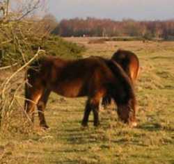
Following the closure of RAF Greenham Common the whole site is now owned by West Berkshire Council (WBC). It is managed on WBC's behalf by BBOWT in consultation with the Greenham and Crookham Commons Commission, within the general objectives of nature conservation and the exercise of commoners' rights as established by the Greenham and Crookham Commons Act 2002. (This Act re-established commoner's rights, which had been partly extinguished by the Ministry of Defence in a panic when peace protesters gained a legal judgement that many of the airbase buildings were illegal on common land.) There are about 65 adjoining properties with commoners' rights. Several graziers graze beef cattle on the common, with peak numbers reaching over 120 head. BBOWT have in the past kept a few Exmoor ponies here. Recent years have seen a decline in heather cover in favour of grassland, as a result of overgrazing.

Day-to-day management work is done by BBOWT's Land Management team, their contractors, and volunteers. There is a comprehensive management plan, and objectives are also influenced by Countryside Stewardship agreements with Defra, and by the fact that large parts of the common are designated as a Site of Special Scientific Interest (SSSI).
The plateau, generally at about 115 to 120 m above sea level, is mainly heathland and acid to neutral grassland, on thin infertile soil over ice-age clay/gravel deposits. The plateau is surrounded on all sides by slopes and wooded gullies, some of which descend through sandy Bagshot beds to London clay in the lowest valley bottoms at about 80 m. During World War II the plateau was artificially levelled, and some of the gully heads filled in, to form the airfield. One peculiarity of the common is that while the native soils are acid, the imported material is neutral to slightly alkaline, and there were also decades of rainwater runoff from the large areas of alkaline concrete runway. The result is a very unusual mixture of lime-hating and lime-tolerant plant species on the plateau.

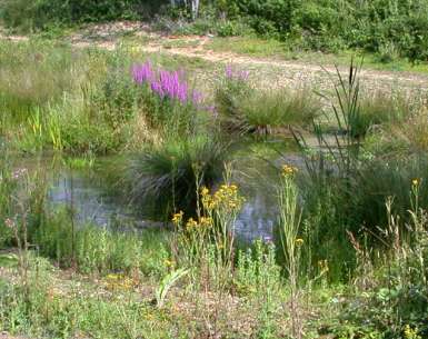
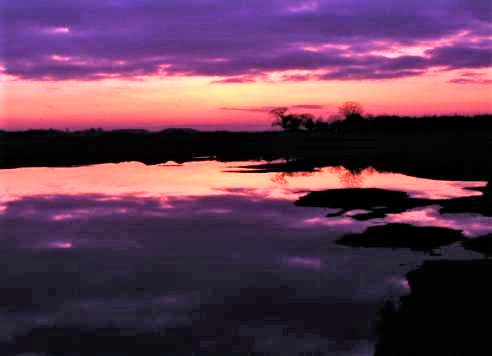
Being generally higher than the surrounding land, no surface streams flow onto the common. There are permanent and seasonal rain-fed water bodies on perched water tables on the plateau, and springs on the surrounding slopes which drain eventually to the rivers Enborne and Kennet. Some of the ponds are man-made, some having been runoff balancing ponds during airbase days, and others having been excavated during the removal of underground fuel storage tanks.
The surrounding woodland includes historic hazel and birch coppice, wet alder woodlands and open mires in the gully bottoms, and some ancient oak wood-pasture.

Since WBC assumed ownership, the airfield runways, roads and other structures including underground fuel tanks have been removed. The concrete was crushed and used in constructing the Newbury bypass. Soil contaminated with aviation fuel has undergone bioremediation, a process in which it is spread out and periodically turned over to allow bacteria to metabolise the contaminants. Another major project involved the removal of a large volume of imported material from the northeast corner of the common, to re-establish an approximation of the former landforms and to re-create a wetland area.